Location Data That Drives Action
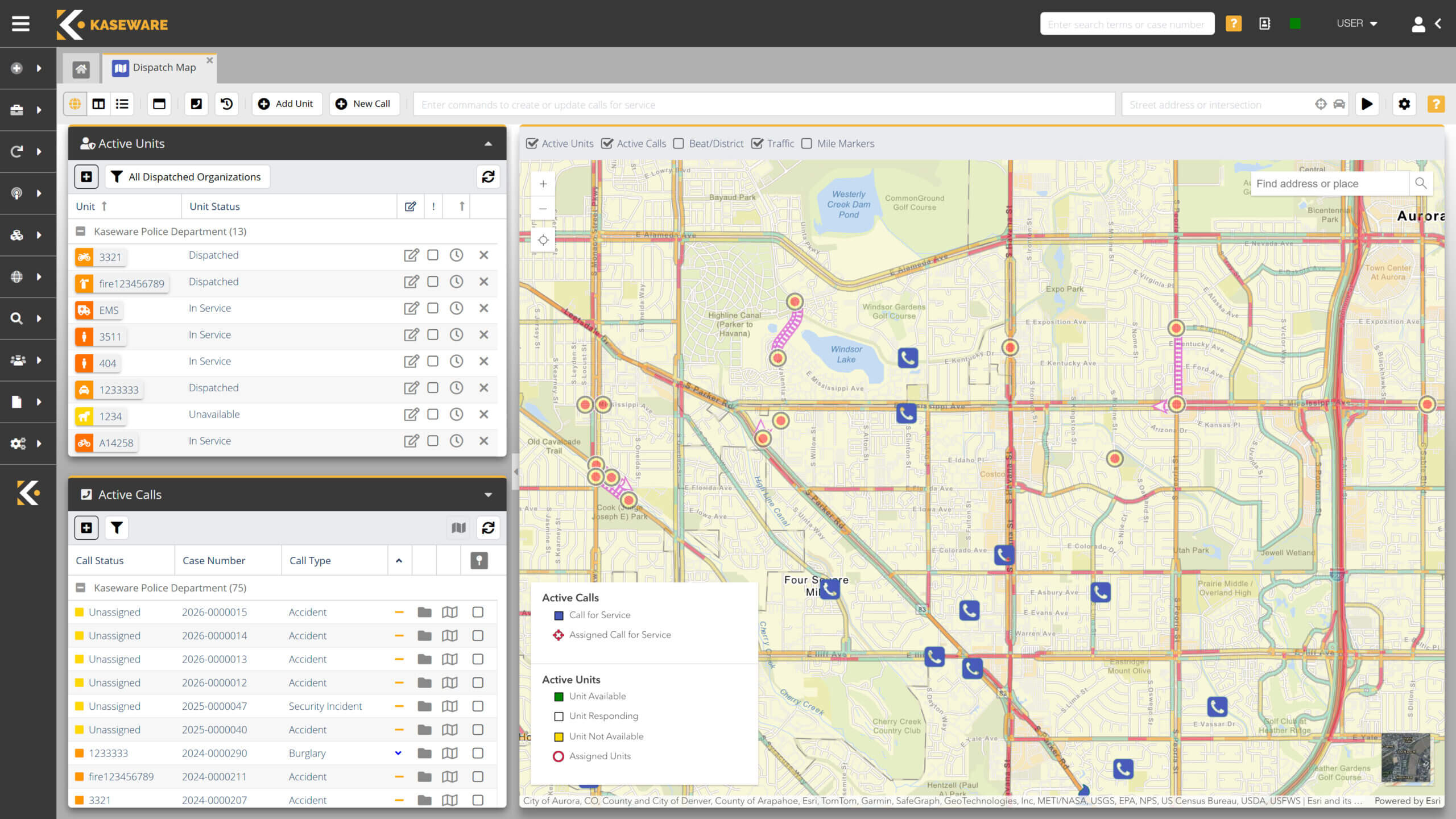
Kaseware’s geospatial software enhances every part of your investigative workflow by connecting case activity to location-based insights. By embedding spatial data directly into your operations, your team can act faster, prioritize smarter, and communicate with clarity across agencies or departments.

-
Exportable Map Views
Export visual map views to include in case files, evidence documentation, or stakeholder updates.
-
Proximity-Based Alerts
Trigger automated alerts when incidents occur near sensitive sites or reach defined frequency thresholds.
-
Location-Based Linking
Link cases or calls to specific addresses or geographic zones for clearer pattern analysis.
-
Timeline Map Overlays
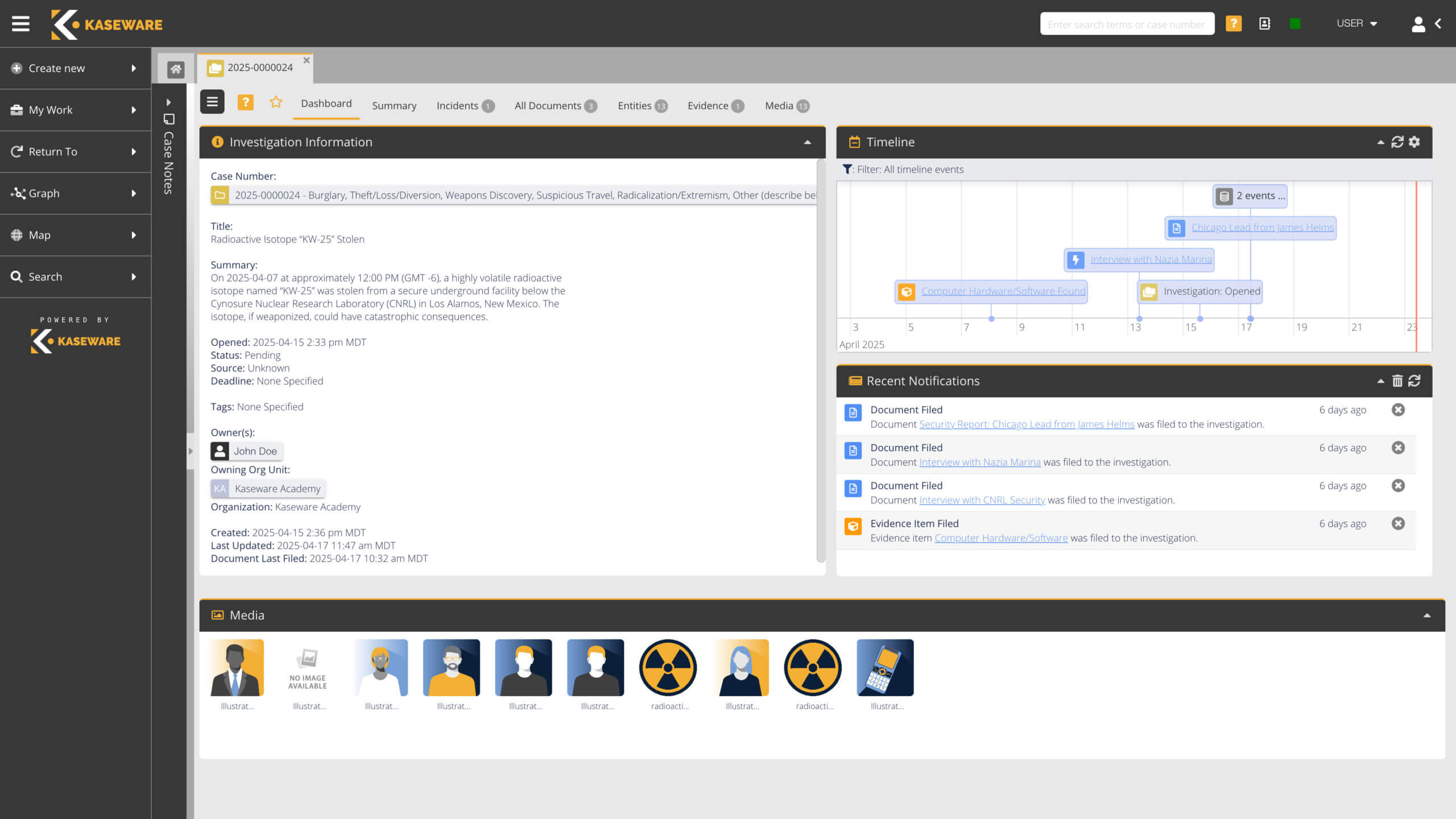
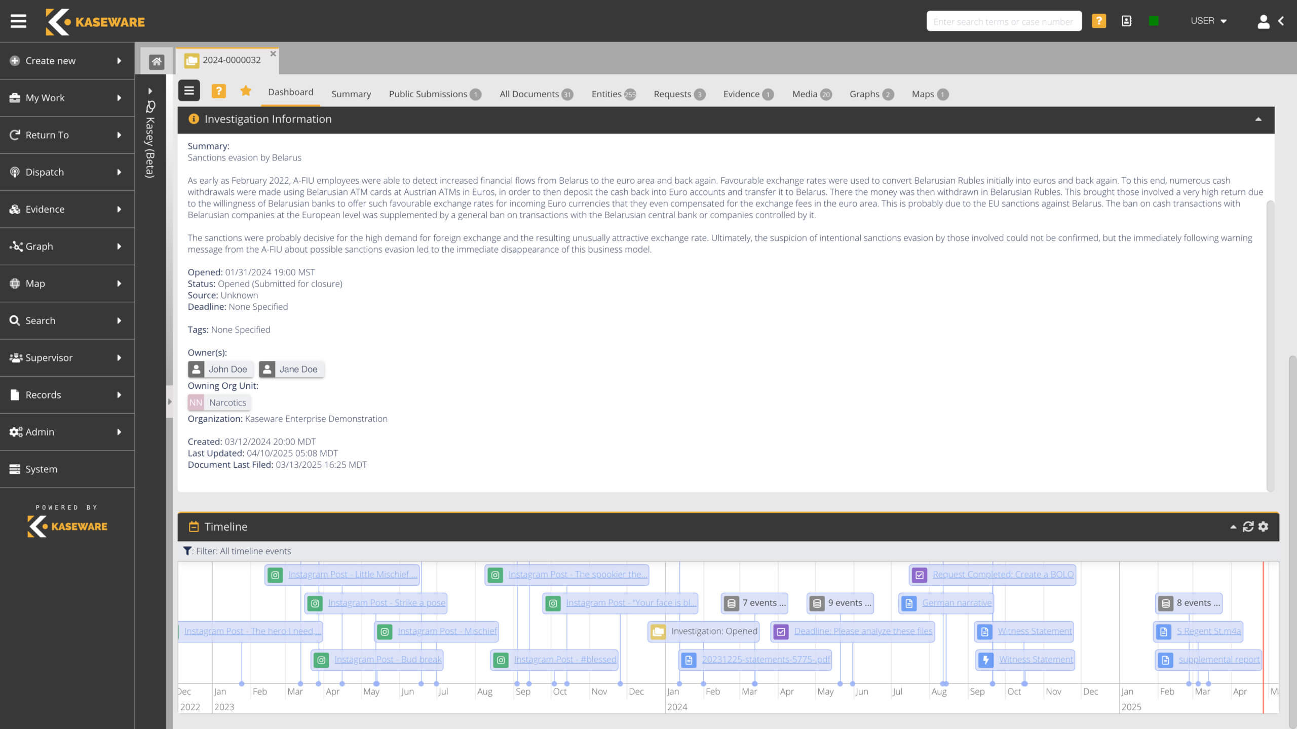
Export visual map views and overlay timelines with spatial context to understand when and where events unfolded.

Supporting Smarter, Safer Operations
Kaseware’s geospatial software gives public safety and corporate security teams a clearer view of where incidents happen and why it matters. By visualizing crime, risk, or incident data already within your system, teams can make faster, more informed decisions without investing in separate GIS tools.
Intelligence That Moves With You
Kaseware’s geospatial software transforms complex location data into clear operational intelligence that moves your mission forward. By integrating spatial awareness into your investigative workflows, it helps your team uncover patterns, assess risk, and respond with greater precision.
Location Insight That Powers Every Investigation
Knowing where incidents occur, and how they connect across cases, people, and events helps teams proactively manage risk and spot critical trends. Kaseware’s geospatial software transforms location data into actionable intelligence, enhancing decision-making across your entire investigative workflow.
- CASE MANAGEMENT
- LINK ANALYSIS
- SEARCH & QUERY
- REPORTING & DASHBOARDS
- ENTITY MANAGEMENT
- RECORDS MANAGEMENT
- DISPATCH INTEGRATION
- ADMINISTRATIVE CONTROLS
- AND MORE

Operational Awareness in Real Time
Understanding where events occur, and how they connect, is critical to identifying risks, spotting patterns, and making informed decisions. Kaseware’s geospatial software transforms complex location data into clear, real-time insights that strengthen your investigations and operations.
Because it’s fully integrated into the same secure platform as your cases, documents, and entities, there’s no need for third-party mapping tools or external GIS systems. All updates happen in real time, with role-based permissions and we’re CJIS and SOC2 compliant and ISO 27001 & ISO 27701 Certified.

Geospatial Intelligence for Smarter Investigations
For teams managing investigations, public safety incidents, or corporate threats, understanding where events occur is just as critical as what happened. Kaseware’s geospatial software brings that spatial context to life—helping your team monitor activity in real time, identify patterns, and make location-informed decisions faster.


Ready to Put Your Data on the Map?
Experience how Kaseware’s geospatial software helps your team visualize, track, and act with confidence.
Built for Operations, Investigations, and Intelligence
Kaseware’s geospatial software is designed for professionals who rely on situational awareness, from law enforcement and fusion centers to corporate security teams.
GET A LIVE, CUSTOMIZED DEMO
You’ll quickly see how Kaseware can improve your investigations and help you achieve mission success.


